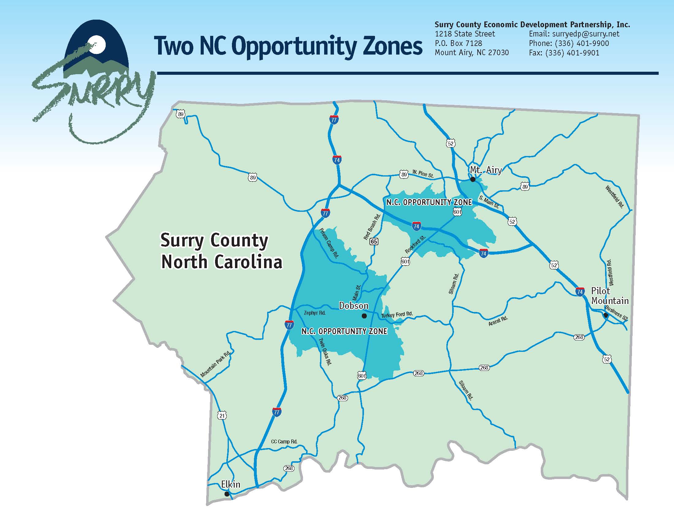
Want to know more about properties in Surry County, North Carolina? Whether you’re a real estate professional, homeowner, business owner, or simply a curious citizen, Surry County’s Geographic Information System (GIS) offers a wealth of valuable data. This comprehensive guide will walk you through accessing and utilizing this powerful tool, from finding property lines and tax maps to exploring potential flood zones. We’ll cover practical applications, offer a user experience review, and even discuss potential future developments. Consider this your one-stop resource for leveraging Surry County GIS.
Accessing Surry County’s GIS Portal
Ready to explore? The Surry County GIS portal, located at gis.co.surry.nc.us/maps, is your gateway to a trove of geospatial data. While the initial view might seem dense, the interface is designed for user-friendliness. The robust search bar allows you to pinpoint information based on various criteria, including owner name, parcel number, address, deed reference, grantor, or grantee. This flexible search functionality ensures you can find precisely what you need, quickly and efficiently.
Exploring Available Data
The Surry County GIS portal offers a rich tapestry of data, going beyond simple maps. Countyoffice.org highlights the breadth of information accessible through the system, including:
- Tax Maps: Essential for understanding property boundaries, valuations, and tax assessments.
- Flood Zone Maps: Crucial for anyone considering building or buying in the area, informing decisions related to flood insurance and potential risks.
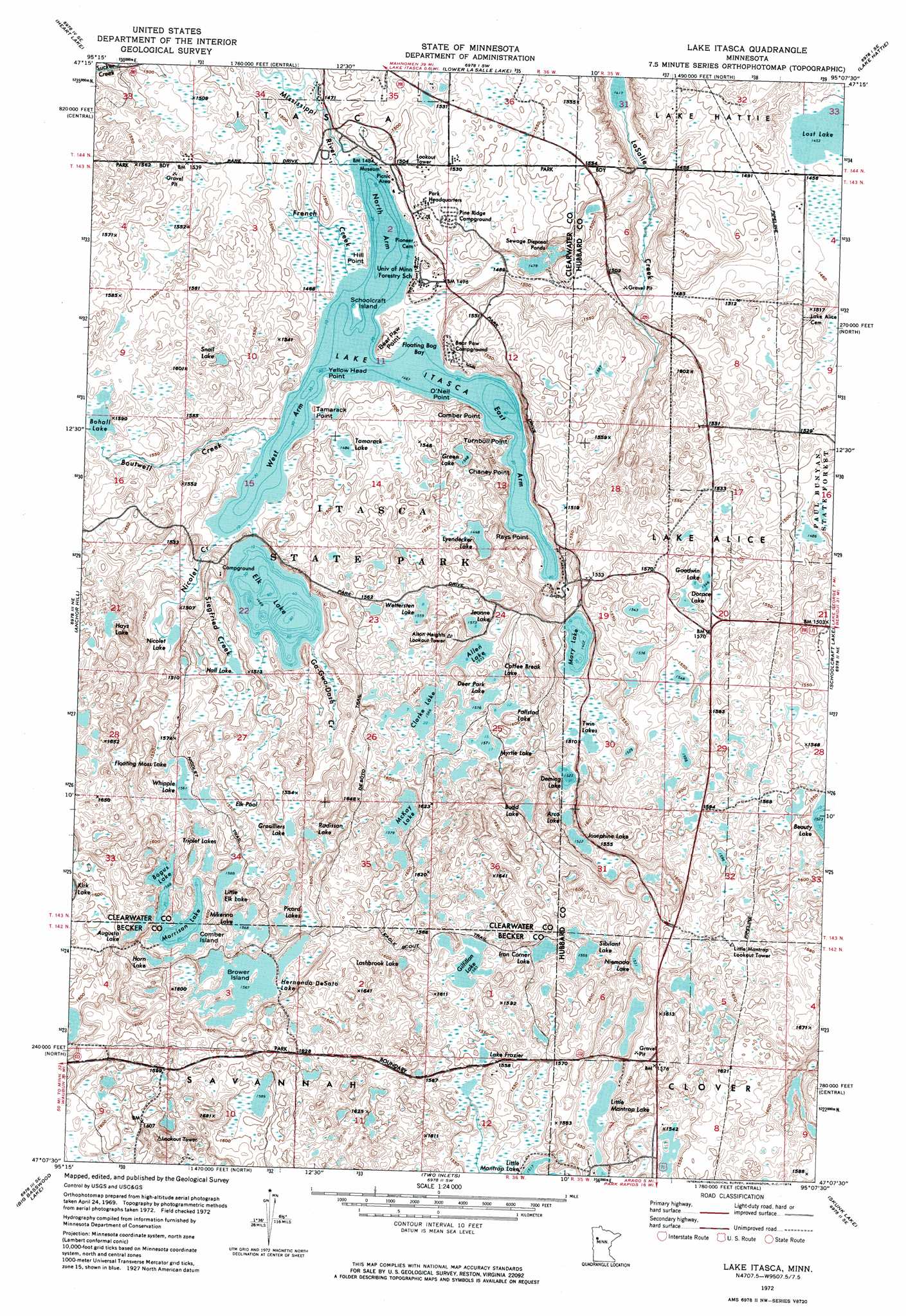
- Topographic Maps: Detailed representations of the terrain, revealing elevation and contours of the land.
- Cadastral Maps: Precise outlines of property boundaries, providing accurate and reliable information for legal and planning purposes.
- Parcel Data: Comprehensive data about individual land parcels, including ownership history, acreage, and other relevant details.
- Aerial Photography: Historical aerial images dating back to 2005 offer a fascinating look at how the county has changed over time, providing valuable context for current development.
- Road Maps: Detailed road networks clarify navigation and provide essential information for infrastructure planning and transportation analysis.
- Elevation Data: This data is invaluable for understanding the landscape, aiding in construction projects, and informing environmental assessments.
- Zoning Information: Access to land use regulations is crucial for understanding development potential and ensuring compliance with local ordinances.
- Environmental Data: Information about natural resources, such as wetlands and forests, is crucial for conservation efforts and environmental impact assessments.
Mastering Search Functionality
The true power of Surry County GIS lies in its search capabilities. Whether you’re searching by owner name, parcel number, address, deed reference, grantor, or grantee, the system is designed to deliver the information you need efficiently. This feature is particularly valuable for real estate professionals, researchers, and anyone involved in property transactions or development.
Practical Applications of Surry County GIS
The versatility of Surry County GIS extends to a wide range of applications, benefiting diverse users:
- Real Estate: Professionals can conduct in-depth property research, assess land values, and understand zoning regulations, all within a single platform.
- Land Development: GIS data empowers developers to identify suitable locations, analyze terrain, assess environmental impacts, and plan infrastructure efficiently.
- Urban Planning: Visualizing growth patterns, analyzing population density, and making data-driven decisions about land use and zoning are all facilitated by GIS.
- Disaster Management: Identifying evacuation routes, pinpointing high-risk areas, and coordinating emergency responses become more effective with access to accurate geospatial data.
- Community Planning: Understanding local geography, researching neighborhood history, and planning public spaces are just a few of the ways GIS benefits community development.
- Personal Exploration: Discovering hidden gems, planning hiking trails, and learning about your surroundings become more engaging with the help of interactive maps and data.
User Experience and Future Enhancements
Surry County’s GIS portal strives for user-friendliness. Navigation is generally intuitive, and the search functionality is robust. However, some users might find the sheer volume of data initially overwhelming. Adding more tutorials or interactive guides could further enhance usability. While mobile accessibility is functional, optimizations for smaller screens and on-the-go use would be valuable. Some experts believe a dedicated mobile app could significantly improve user experience.
While specific future development plans for Surry County GIS aren’t consistently publicized, ongoing improvements are likely. Enhanced data accuracy, a more streamlined user interface, and additional data layers are all possibilities. Integration with other county services could create a unified platform for accessing diverse information. Staying informed about county news and announcements is recommended for keeping abreast of the latest GIS developments. Exploring Surry County NC GIS and Talladega County GIS can provide valuable insights into potential future directions.
Surry County GIS: Pros, Cons, and Comparisons
| Pros | Cons |
|---|---|
| Free and publicly accessible | Can be initially overwhelming for new users |
| Comprehensive data on Surry County properties | Requires internet access |
| User-friendly interface (generally) | Advanced features may have a learning curve |
| Valuable for diverse applications | Data accuracy depends on the quality of county records |
Comparing Surry County’s GIS with neighboring counties could reveal best practices and areas for potential improvement. This comparative analysis can inform future development and enhance the overall user experience.
Conclusion: Empowering Decisions with Surry County GIS
Surry County GIS empowers residents, professionals, and organizations with valuable geospatial data. Whether you’re researching property, planning development, or simply exploring your surroundings, the GIS portal offers a powerful tool for informed decision-making. Explore this resource and unlock the wealth of information it provides. Keep in mind that ongoing research and evolving technology suggest that the capabilities and applications of GIS are constantly expanding.
- HelpCare Plus: Revolutionizing Affordable and Accessible Healthcare - December 29, 2024
- Boom & Bucket: Your Digital Marketplace for Used Heavy Equipment - December 28, 2024
- Ankle Bones Crossword Clue: Solutions, Tips & Anatomical Insights - December 28, 2024
