Want to explore one of the most captivating spots in the Southern Appalachians? Rabun Bald is calling! Whether you’re a seasoned hiker or simply seeking breathtaking views, this guide will equip you for an unforgettable adventure. At 4,696 feet, Rabun Bald stands proudly as Georgia’s second-highest peak, promising stunning panoramas. We’ll explore various trails, delve into the area’s rich history, and prepare you for an awe-inspiring experience on this remarkable mountain.
Discovering Rabun Bald: Trails and Vistas
Considering a trek to Georgia’s second-highest peak? Rabun Bald, reaching a majestic 4,696 feet, offers breathtaking panoramic views and an authentic Appalachian wilderness experience. From seasoned hikers to first-timers, this mountain has a trail for everyone. Let’s explore the options to help you choose your perfect path.
Selecting Your Rabun Bald Ascent
Rabun Bald offers a variety of trails, each with its own distinct character. Are you seeking a quick, invigorating climb? Or perhaps a longer, more immersive journey through forests adorned with vibrant rhododendrons? Rabun Bald caters to all preferences.
The Beegum Gap Trail: A Swift Summit Journey
For a brisk and rewarding climb, the Beegum Gap Trail is ideal. This well-maintained path is relatively short (approximately 1 mile) and perfect for a half-day adventure. While considered “easy,” the ascent still provides a good workout, but the beautiful rhododendron and mountain laurel blossoms along the way will likely distract you from the exertion.
The Bartram Trail: Hiking Through History
Wish to walk in the footsteps of historical explorers? The Bartram Trail, a section of a much longer, storied route, intersects Rabun Bald. This moderately challenging hike, covering approximately 3 miles, offers a richer, more immersive experience. Imagine traversing the same paths as early naturalists, connecting with the region’s history and wild beauty.
Planning Your Rabun Bald Expedition
Preparation is key for a successful hike. Rabun Bald’s weather can be unpredictable, so packing layers is essential. Be ready for sunshine, sudden showers, or chilly breezes at the summit. Sturdy hiking boots are crucial, especially after rainfall. Don’t forget plenty of water and snacks to replenish your energy after reaching the summit.
Beyond the Summit: Exploring the Surroundings
After conquering Rabun Bald, consider exploring the surrounding area. Discover nearby waterfalls, venture onto other scenic trails, or relax and immerse yourself in the tranquil mountain atmosphere. Consider a visit to the Occoquan Bay National Wildlife Refuge for a glimpse into a diverse ecosystem. This corner of Georgia is a treasure trove waiting to be discovered.
How Long Does it Take to Hike Rabun Bald?
Dreaming of conquering Georgia’s second-highest peak? The hiking time to Rabun Bald’s summit depends on your chosen trail and pace.
Choosing Your Route
Several trails lead to the summit, each offering a unique experience. The Rabun Bald Trail (approximately 2.9 miles roundtrip) provides the most direct, albeit steep, ascent. The Bartram Trail offers a gentler, more meandering route through lush forests, with a clearly marked spur trail leading to the summit. This option adds distance but offers a less intense climb.
Estimated Hiking Times and Trail Advice
Experienced hikers can likely complete the direct Rabun Bald Trail in 2-3 hours. Less experienced hikers should allocate more time. For the Bartram Trail, the hiking time is variable, depending on your starting point and chosen section. Consulting a trail map is recommended, as total hiking time, including the spur trail to Rabun Bald, can probably range from two and half hours to more than four hours.
Reaching the Summit
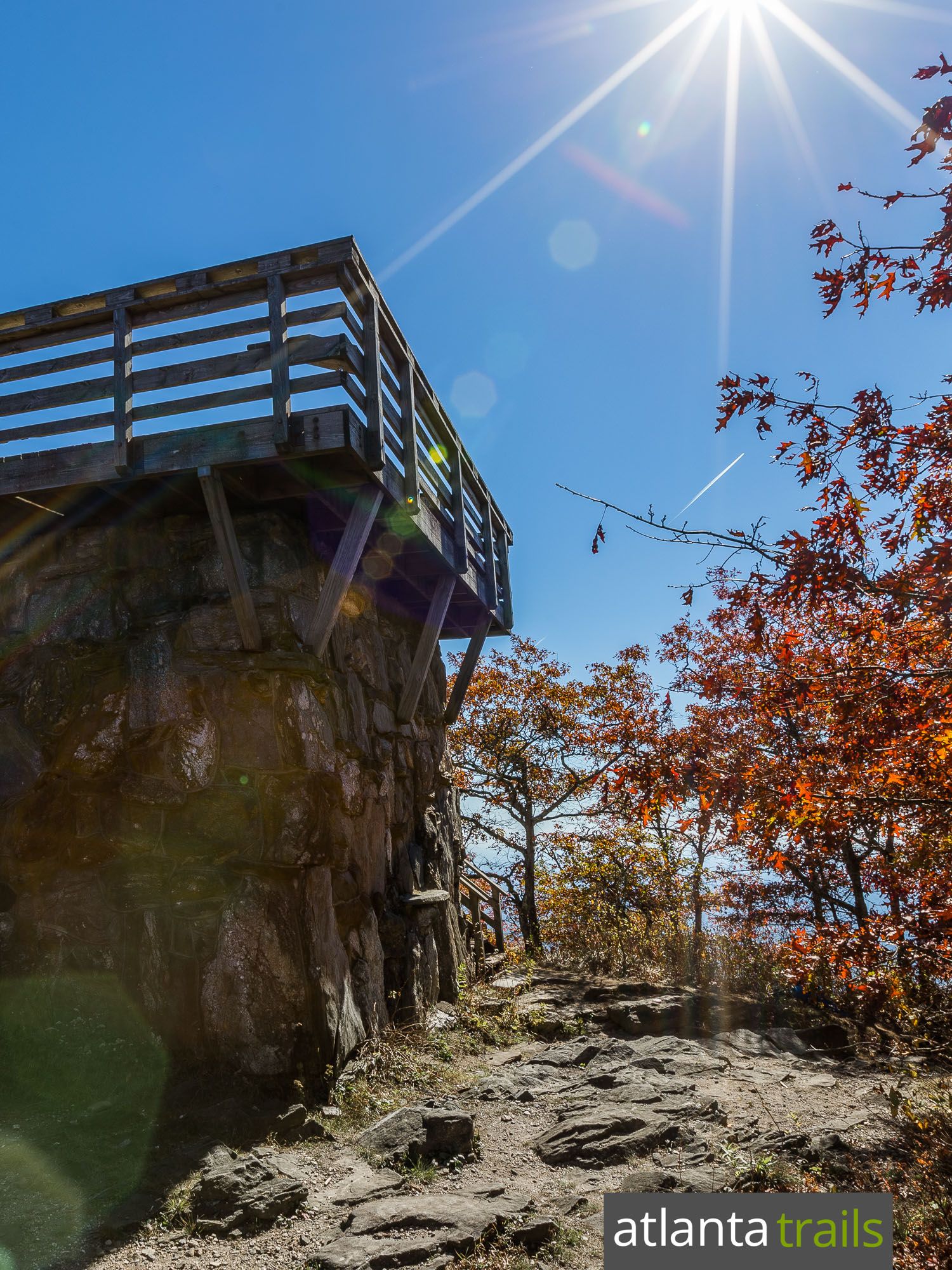
The summit boasts a historic fire tower offering 360-degree views, extending to neighboring states on clear days. This vista is a rewarding culmination of your efforts.
Preparing for Your Adventure
Mountain weather is unpredictable, so layering clothing is essential. Sturdy hiking boots are vital for the sometimes rocky terrain. Trekking poles can be helpful, especially during descent. Pack essentials: water, snacks, and a charged phone.
Exploring Beyond Rabun Bald
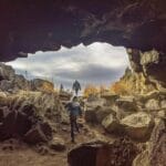
The surrounding area offers numerous attractions. Discover cascading waterfalls, explore other hiking trails, and visit charming mountain towns. Consider extending your trip to explore the natural wonders of the Redmond Caves Oregon.
Unveiling Rabun Bald: A Journey Through History, Ecology, and Legend
Rabun Bald’s history intertwines Native American legends, scientific exploration, and the evolution of forestry practices.
Whispers of the Past: Native American Lore
Long before marked trails and the observation tower, Rabun Bald resonated with the stories of its indigenous inhabitants. Native American tribes wove tales of mythical beings, including fire-breathing demon people, reflecting a profound spiritual connection to this towering landmark. These narratives offer a glimpse into a world where the mountain held deep reverence.
Steps into History: Early Exploration and Scientific Discovery
In 1775, botanist William Bartram likely explored Rabun Bald’s slopes, marking a shift towards documented history. For over seventy years, Rabun Bald has served as a living laboratory, attracting scientists to study its diverse plant and animal life. This ongoing research suggests our understanding of the mountain’s ecosystem is constantly evolving.
A Watchful Eye: Rabun Bald’s Forestry Legacy
In the early 20th century, Georgia’s first fire tower stood atop Rabun Bald, built by Nick Nicholson, the state’s first forest ranger. Though the original tower’s top section was disassembled in the 1970s, its legacy remains, symbolizing a growing awareness of conservation.
Rabun Bald’s Enduring Story
Rabun Bald’s history is a rich tapestry woven from myth and science, human ambition and natural wonder. From ancient legends to scientific observations, from the fire tower to the footsteps of hikers, Rabun Bald stands as a living testament to time.
Beyond Rabun Bald: Exploring the Majestic Mountains of Rabun County
Rabun County, nestled in the Blue Ridge Mountains, is a paradise for outdoor enthusiasts. Towering peaks meet deep gorges, creating a landscape of dramatic beauty and exceptional hiking opportunities.
Reaching for the Sky: Rabun Bald and Dick’s Knob
Rabun Bald (4,696 feet) and Dick’s Knob (4,620 feet) dominate the skyline as Georgia’s second and third highest peaks, respectively. The Eastern Continental Divide runs through Dick’s Knob, adding to its allure.
A Plethora of Peaks: Beyond the Giants
Rabun County boasts approximately 176 (PeakVisor) to 184 (MountainZone) named mountains. Oakey Mountain, with the highest topographic prominence, stands out as a distinctive landmark. Tallulah Gorge, a deep chasm carved by the Tallulah River, offers a contrasting spectacle of nature’s power.
Trails for Every Trek
From leisurely strolls to challenging climbs, Rabun County offers trails for all skill levels. The Bartram Trail allows hikers to retrace historical footsteps. The Beegum Gap Trail provides a relatively quick ascent to Rabun Bald’s summit.
A Seasonal Symphony
Rabun County’s beauty transforms with each season, from the vibrant hues of spring rhododendrons to the fiery foliage of autumn. Each season offers a unique experience.
A Thriving Ecosystem
The mountains teem with life, from black bears and deer to a chorus of songbirds. Diverse flora and fauna contribute to the area’s rich natural beauty.
Exploring Notable Peaks
| Mountain Name | Elevation (ft) | Notable Features |
|---|---|---|
| Rabun Bald | 4,696 | Observation Tower, Second Highest in GA |
| Dick’s Knob | 4,620 | Third Highest in GA, Eastern Continental Divide |
| Oakey Mountain | (Further research needed) | Most Prominent Mountain |
This table offers a starting point for your Rabun County mountain adventure.
- Discover Long Black Pepper: Flavor & Health Benefits - April 25, 2025
- Shocking Twists: The Grownup Review: Unreliable Narration - April 25, 2025
- A Quiet Place Book vs Movie: A Deep Dive - April 25, 2025



2 thoughts on “Rabun Bald Hiking Guide: Trails, Views, and Appalachian Adventures”
Comments are closed.