Plymouth (Devon) Postcodes: A Comprehensive Guide to PL Districts & Neighbourhoods
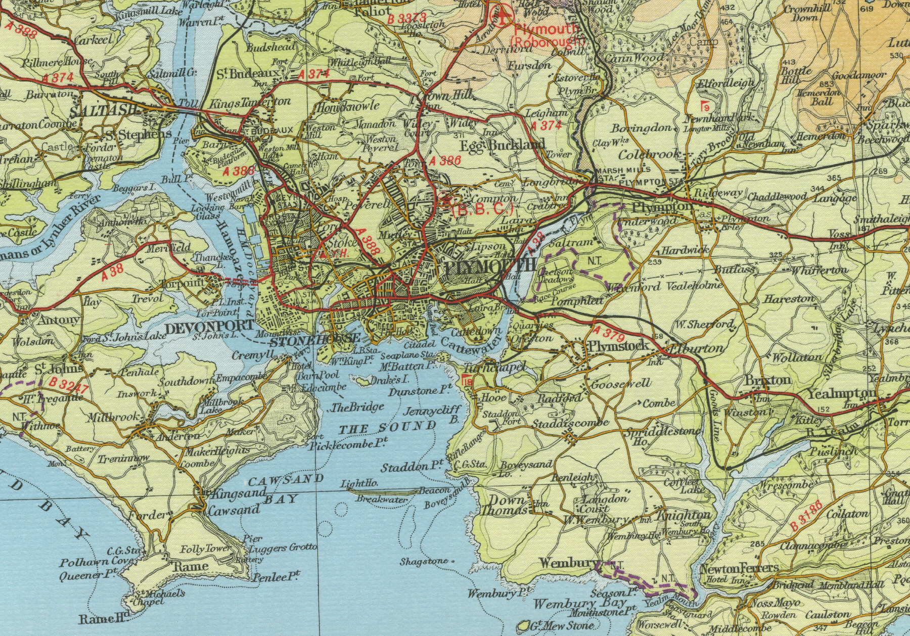
Plymouth, a vibrant city nestled in Devon, boasts a rich maritime history and a diverse tapestry of neighbourhoods. Understanding its ...
Read moreDiscovering Norham: A Historic Village Escape Near Berwick-upon-Tweed
Picture a cozy village nestled beside the River Tweed, where England and Scotland almost meet: Norham. Just a short trip ...
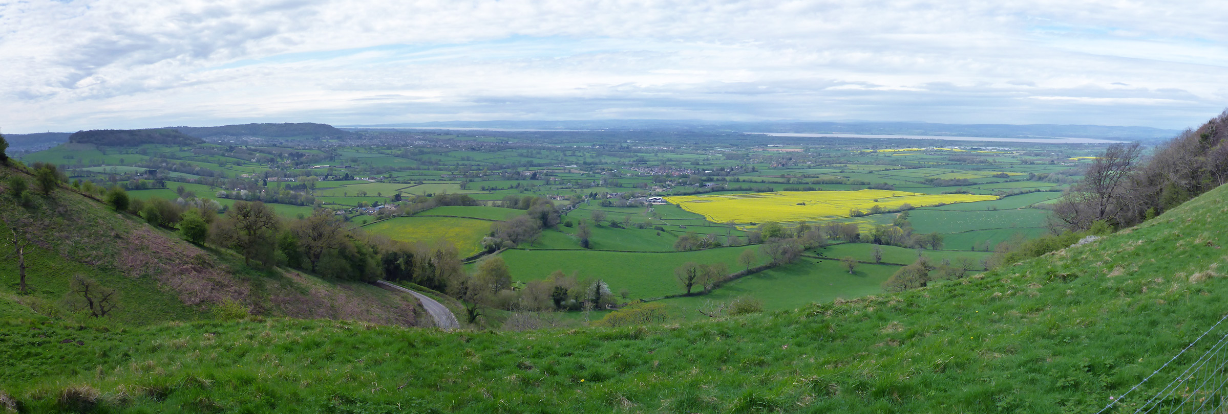
Read moreDiscovering Nympsfield, UK: A Cotswold Village Rich in History and Natural Beauty
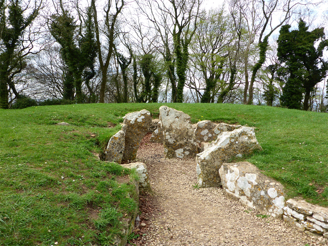
Nympsfield, a charming village nestled on the Cotswold escarpment in Gloucestershire, England, invites you to step back in time and ...
Read moreHelmsley NYC: Legacy, Controversy, and the Future of a Real Estate Empire

The Helmsley name, whispered in New York City’s concrete canyons, evokes a story as complex and towering as the buildings ...
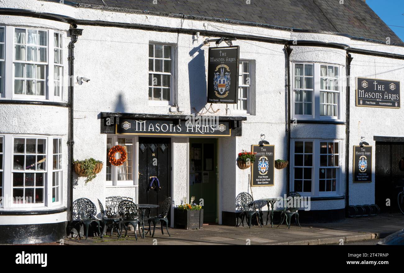
Read moreLongtown, UK: Your Complete Guide to History, Accommodation, and Activities
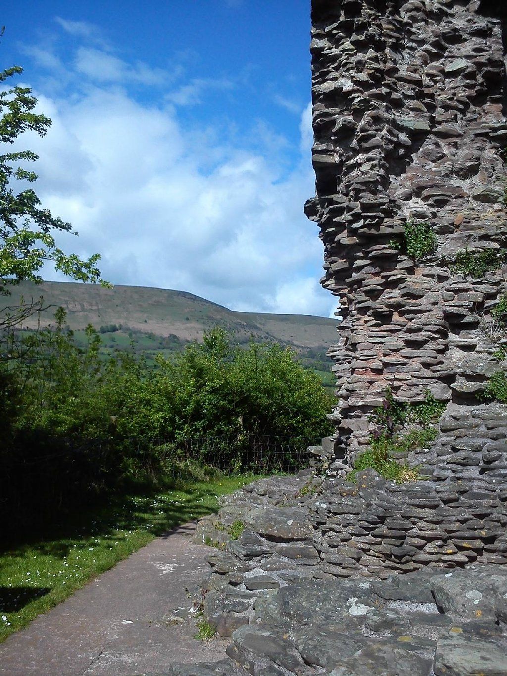
Longtown, a hidden gem nestled on England’s northern border with Scotland, offers a captivating blend of history, natural beauty, and ...
Read moreHexham Bus Station: Times, Routes & Amenities Guide

Planning a trip to Northumberland? Hexham Bus Station is likely your gateway to exploring this beautiful region. This comprehensive guide ...
Read moreCoaley Peak: Hiking Trails, History, and Breathtaking Cotswold Views
Forget overcrowded tourist spots! Discover Coaley Peak, a hidden gem in the Cotswolds offering breathtaking views, fascinating history, and diverse ...
Read moreDurrington, Wiltshire, England: A Neolithic Village and Gateway to Stonehenge
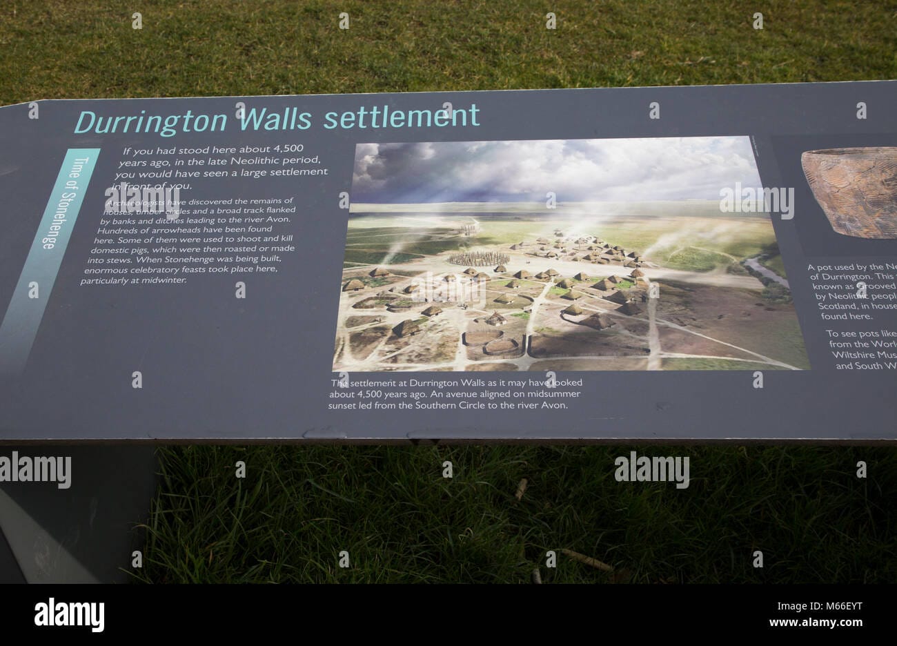
Durrington, Wiltshire, is more than just a charming English village nestled near the iconic Stonehenge. It’s a living testament to ...
Read moreDurrington England: Unveiling the History and Charm of Two Unique Villages
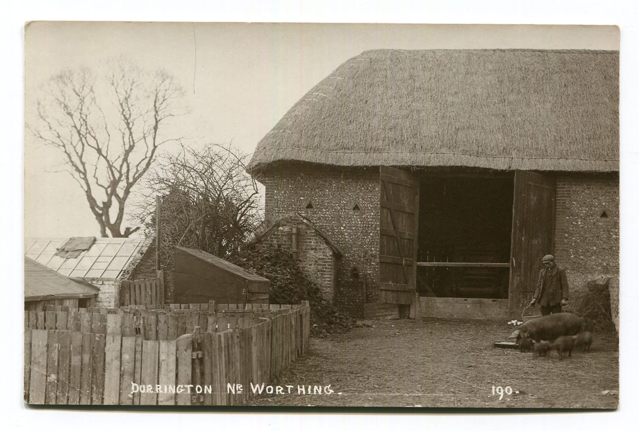
The name “Durrington” denotes two distinct English villages, each possessing a unique character and history. One, nestled in Wiltshire near ...
Read moreTop 10 Things to Do in Benfleet & South Benfleet, Essex, United Kingdom
Thinking of Essex? Benfleet might be your perfect match. This comprehensive guide explores this charming town, from its rich history ...
Read more