Want to explore Iredell County like a pro? Whether you’re buying a house, planning a project, or simply curious about your neighborhood, Iredell County’s Geographic Information System (GIS) is your one-stop shop. This comprehensive guide provides step-by-step instructions and practical tips for navigating these powerful tools.
Interactive Mapping: Exploring Iredell County Digitally
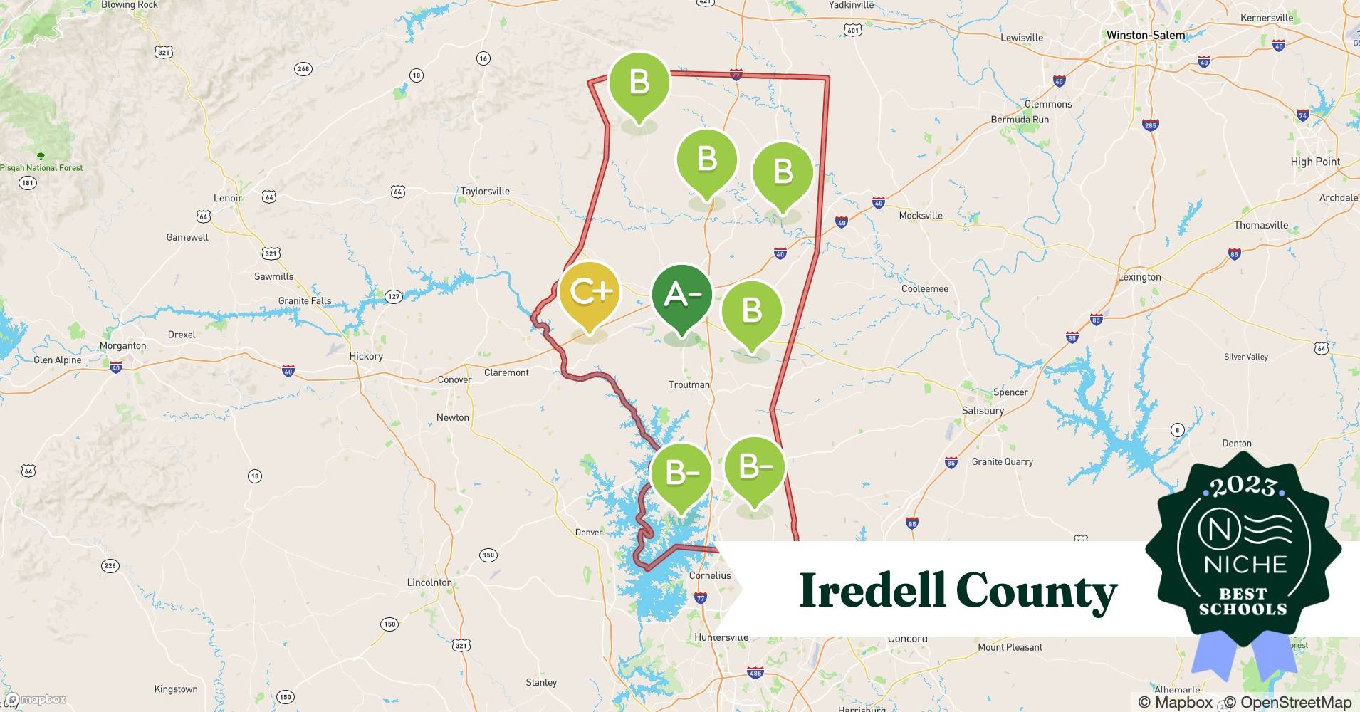
Iredell County’s GIS offers a dynamic and interactive way to explore the county’s layout, features, and regulations. It’s more than just viewing maps; it’s accessing a comprehensive, constantly updated database. This system lets you delve into specific details, analyze trends, and make informed decisions about your interactions with the county. Your journey begins with interactive web maps, designed for user-friendly navigation. Whether you’re checking a property’s floodplain status, locating your voting precinct, or researching neighborhood zoning regulations, these interactive maps provide quick and easy answers.
MapGeo & ArcGIS Online: Deep Dive into Data
MapGeo: Unlocking Property Secrets
MapGeo, Iredell County’s dedicated mapping platform, is essential for anyone interested in property details. Want to know who owns a particular parcel or understand local zoning restrictions? MapGeo reveals these secrets and more, providing in-depth information on property data, zoning, land usage, and other crucial details. Navigate to MapGeo for an insider’s view of Iredell County’s land and property landscape.
ArcGIS Online: Your Data Download Hub
Need detailed data for your projects or research? ArcGIS Online is your personal data library for Iredell County. Download shapefiles (digital representations of geographic features) on everything from street centerlines and property boundaries to election boundaries and environmental data. ArcGIS Online empowers deeper analysis and customized use through downloadable and manipulable data.
PDF Maps and Other Resources
Printable Maps for Offline Use
While digital resources offer convenience, sometimes a printed map is essential. Iredell County offers downloadable PDF maps covering specific topics like township lines, voting precincts, and ZIP code areas. These printable maps are ideal for offline use, community projects, presentations, or simply having a tangible reference.
The Land Records & Mapping Division: Maintaining Accuracy
The accuracy and accessibility of Iredell County’s GIS data are maintained by the diligent work of the Land Records & Mapping Division. This team ensures that parcel identification, property records, and all other geospatial information are meticulously updated. They are the engine powering the entire GIS system, ensuring reliability and effectiveness. For assistance or specific data requests, reach out to the Iredell County Government Center. They can also provide clarification on any aspect of the data.
Expanding Your Search: NC OneMap
Looking beyond Iredell County? NC OneMap, a statewide geospatial portal, provides access to GIS data for all of North Carolina, complementing Iredell’s local data and expanding your geographic exploration. Several videos showcase the use of NC OneMap. It’s a valuable resource for comparing and contrasting data across different regions. Discover more comprehensive resources through the Itasca County GIS department and explore the detailed mapping and data offered by the Itasca County MN GIS system.
Iredell County GIS Resources: At a Glance
| Resource | Description |
|---|---|
| Interactive Web Maps | Explore county data layers like floodplains, zoning, voting districts, tax information, and more. |
| MapGeo (https://iredellcountync.mapgeo.io) | Access detailed property information, zoning regulations, and land usage information. |
| ArcGIS Online | Download shapefiles containing detailed geographic data, including parcels, streets, zoning, and more. |
| PDF Maps | Download printable maps on various topics, including township lines and ZIP code areas. |
| NC OneMap | Explore statewide GIS data across North Carolina. |
Parcel Data: Unlocking Property Insights
Iredell County’s GIS parcel data provides valuable insights into properties across the county. This digital “treasure map” reveals property lines, ownership details, assessed values, zoning regulations, and more. It’s a game-changer for anyone interested in real estate, from prospective homeowners and investors to researchers. This data, readily available to the public via the Iredell County website, can be accessed through interactive maps, downloadable shapefiles, and platforms like ArcGIS Online.
Why Parcel Data Matters
Parcel data isn’t just lines on a map; it’s a dynamic resource with numerous applications. For prospective homeowners, it helps verify property boundaries, identify easements, and assess potential flood risks. Investors can use it to identify undervalued properties and analyze market trends. Even neighborhood disputes, like fence line disagreements, can benefit from the clarity provided by GIS data.
How Parcel Data Helps Iredell County
| Use Case | Description |
|---|---|
| Urban Planning | Officials analyze growth patterns, assess infrastructure needs, and make informed decisions about future development. |
| Emergency Response | First responders quickly access property layouts, identify access points, and locate critical infrastructure. |
| Tax Assessment | Parcel data may play a role in determining property values for tax purposes, though other factors likely contribute. |
| Environmental Management | Officials identify at-risk areas and develop mitigation strategies by overlaying parcel data with information about wetlands or floodplains. |
| Infrastructure Development | Parcel data supports the planning and construction of new infrastructure. |
Accessing and Utilizing Parcel Data
Iredell County offers several ways to access this valuable data. The “Data Downloads” section of their website provides basic maps and information. MapGeo offers an interactive way to explore property details and zoning. For downloading shapefiles, ArcGIS Online offers a powerful data retrieval tool. These resources are updated regularly, usually monthly, ensuring you’re working with the most current information. Historical data is available at the Iredell County Public Library.
Future of GIS Data
The field of GIS is constantly evolving, with new technologies and techniques continually emerging. Ongoing research explores new applications of GIS data, and new uses will likely emerge as technology advances. While generally reliable, data limitations and occasional inaccuracies may exist. Double-check information and consult experts for crucial decisions based on parcel data.
This guide is just a starting point. Whether you’re a seasoned professional or just starting out, exploring Iredell County’s GIS data can unlock valuable insights into the county’s present and future. Remember that this information is presented with the understanding that current research may evolve, and future findings may change current interpretations.
- Orangutans: The Gentle Giants Reigning as the Largest Arboreal Mammals - November 26, 2024
- Escape to Terrapin Nature Park: Your Guide to Kent Island’s Bayfront Oasis - November 26, 2024
- Kaulahao Beach: A Local’s Guide to Maui’s Hidden Turtle and Snorkeling Paradise - November 26, 2024


