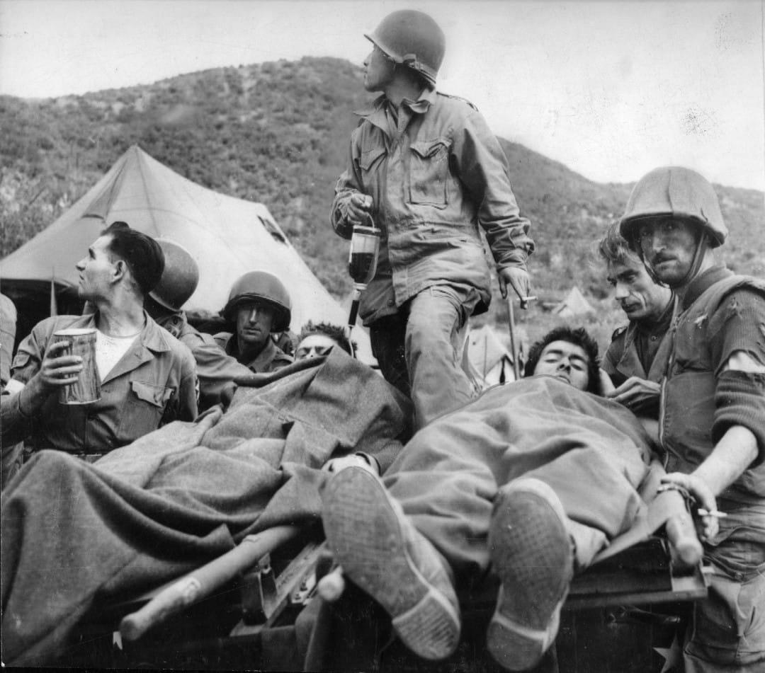
Imagine trying to understand the intricate dance of armies across a peninsula, but the stage is shrouded in mist. This is the challenge we face when studying the Korean War. While its impact on the geopolitical landscape is undeniable, readily available maps and data, particularly those valuable “Korean War shapefiles,” are surprisingly scarce. This scarcity is like a missing chapter in history, making it difficult to fully grasp the conflict’s complexities.
But just as archaeologists painstakingly piece together fragments of the past, researchers and history enthusiasts are finding creative ways to illuminate this “Forgotten War.” This guide serves as your compass, leading you through the intricate landscape of Korean War data and revealing how GIS, like a powerful lens, can bring this era back into focus.
Why are Korean War Maps So Elusive?
The scarcity of Korean War shapefiles is a puzzle in itself, with several factors contributing to this data drought.
Political Sensitivities: A History Unsolved
The Korean War, unlike many other 20th-century conflicts, remains unresolved. The relationship between North and South Korea is, to put it mildly, complex. This ongoing tension casts a long shadow on information sharing, making access to reliable data, particularly from North Korea, exceptionally difficult. Think of it like trying to assemble a puzzle where crucial pieces are kept locked away.
Data Lost in Time: The Digital Divide
The Korean War was fought in an era before digital mapping became commonplace. While meticulous records were undoubtedly kept, many exist as physical maps, hand-drawn battle plans, or textual accounts tucked away in archives. Transforming these invaluable artifacts into readily usable digital formats like shapefiles requires time, resources, and specialized expertise.
The Forgotten War: Research and Funding
Despite its significance, the Korean War often finds itself overshadowed by other global conflicts in terms of research funding and public interest. This relative lack of attention contributes to the scarcity of readily available Korean War data. Imagine a library where some shelves are overflowing while others remain sparsely populated – the Korean War section, unfortunately, falls into the latter category.
Rediscovering the Past: Creative Solutions
While the lack of easily accessible Korean War shapefiles may seem like an insurmountable hurdle, a spirit of collaboration and ingenuity is paving the way for exciting new discoveries.
Joining Forces: The Power of Collaboration
Recognizing the value of shared knowledge, researchers, institutions, and dedicated individuals are increasingly joining forces. Archives are partnering with universities, historians are teaming up with GIS specialists, and online platforms are connecting individuals with pieces of the puzzle. This collaborative spirit is like a beacon, illuminating the path towards a more complete understanding of the Korean War.
Beyond the Battlefield: Unconventional Data Sources
The search for Korean War insights extends beyond traditional military records. Researchers are exploring alternative datasets that, while not directly focused on the conflict, offer valuable contextual clues. Imagine a detective piecing together a timeline using seemingly unrelated events – by studying Cold War military installations, post-war reconstruction efforts, or even refugee migration patterns, we can glean valuable insights into the Korean War’s impact.
The People’s History: Crowdsourcing the Past
In the digital age, the power to uncover history is no longer confined to academic institutions. Crowdsourcing platforms are emerging as valuable tools, allowing individuals with personal connections to the Korean War to contribute their knowledge. Imagine a global family tree, where each branch represents a story, a photograph, or a hand-drawn map passed down through generations. By bringing these fragments together, we can create a richer, more nuanced understanding of the conflict and its human cost.
Mapping the Impact: Why Korean War Shapefiles Matter
You might be wondering, “Why go through all this effort for maps and data?” The answer is simple: Korean War shapefiles are far more than just lines on a map; they’re keys to unlocking a deeper understanding of the conflict and its enduring legacy.
Military Strategies: Retracing the Steps of War
Imagine being able to rewind time, to see how armies maneuvered, where battles raged, and how the tide of war ebbed and flowed. Korean War shapefiles allow us to do just that. By plotting troop movements, supply lines, and battle locations, we gain invaluable insights into military strategies and decision-making processes.
Human Cost of War: Mapping the Stories Untold
Wars are not merely about troop movements and territorial gains; they profoundly impact individuals, families, and entire communities. Korean War shapefiles can reveal the human cost of conflict, allowing us to trace the paths of refugees, map the destruction of homes and infrastructure, and visualize the long-lasting social and economic consequences of war.
Scars on the Land: Environmental Impacts
The Korean War’s legacy is not only etched in human memory but also imprinted on the land itself. GIS data allows us to analyze the conflict’s environmental impact, from deforestation and pollution to the creation of the Demilitarized Zone (DMZ), a stark reminder of the peninsula’s division.
Bridging the Gap: GIS as a Tool for Understanding
The true power of Korean War shapefiles lies in their ability to bridge the gap between raw data and human understanding. GIS tools allow us to transform static maps into interactive experiences, creating simulations, analyzing spatial patterns, and uncovering hidden connections. This technology empowers researchers, students, and the public to engage with history in a dynamic and meaningful way.
Looking Ahead: The Future of Korean War Data
While challenges remain, the future of Korean War mapping and data analysis is filled with promise. As technology advances and collaborative efforts expand, we can expect to uncover even more insights into this pivotal conflict. The Korean War may be known as the “Forgotten War,” but its stories, preserved in data and brought to life through GIS, will continue to shape our understanding of history for generations to come.
- Unlock Elemental 2 Secrets: Actionable Insights Now - April 2, 2025
- Lot’s Wife’s Name: Unveiling the Mystery of Sodom’s Fall - April 2, 2025
- Photocell Sensors: A Complete Guide for Selection and Implementation - April 2, 2025
